Gazetteer/Almanac
Headnote
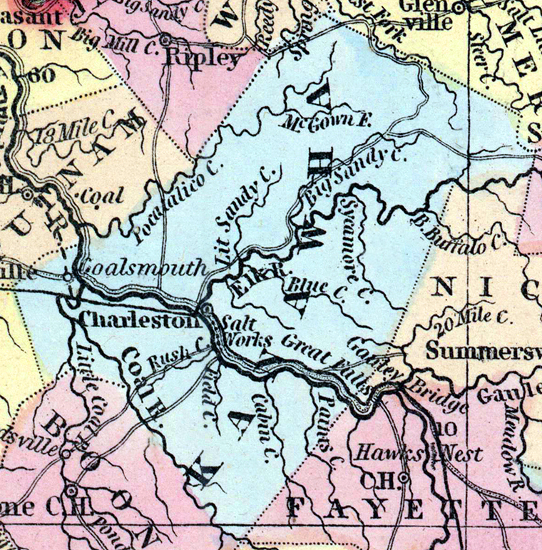
KANAWHA was formed in 1789, from Greenbrier and Montgomery: it is about 60 miles long, with a mean breadth of 40 miles. Gauley River unites with New River, and forms the Great Kanawha upon the eastern border of the county. The Kanawha then flows through the county in a NW. direction, receiving in its passage through the county, Elk, Pocatalico, and Coal Rivers. The surface of the county is much broken. It is famous for its mineral treasures, salt, coal, &c. Pop., in 1840, whites 10,910, slaves 2,560, free colored 97; total, 13,567. (Historical Collections, 1852)