
Download image

Scanned by
Library of Congress
Notes
Cropped, edited, and prepared for use here by Don Sailer, Dickinson College, May 11, 2009.
Image type
map
Courtesy of
Library of Congress Geography and Map Division
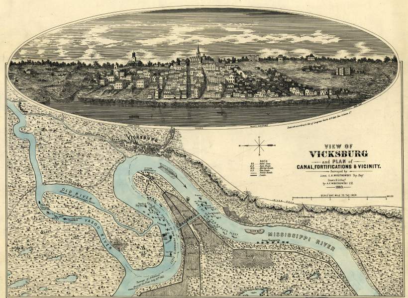
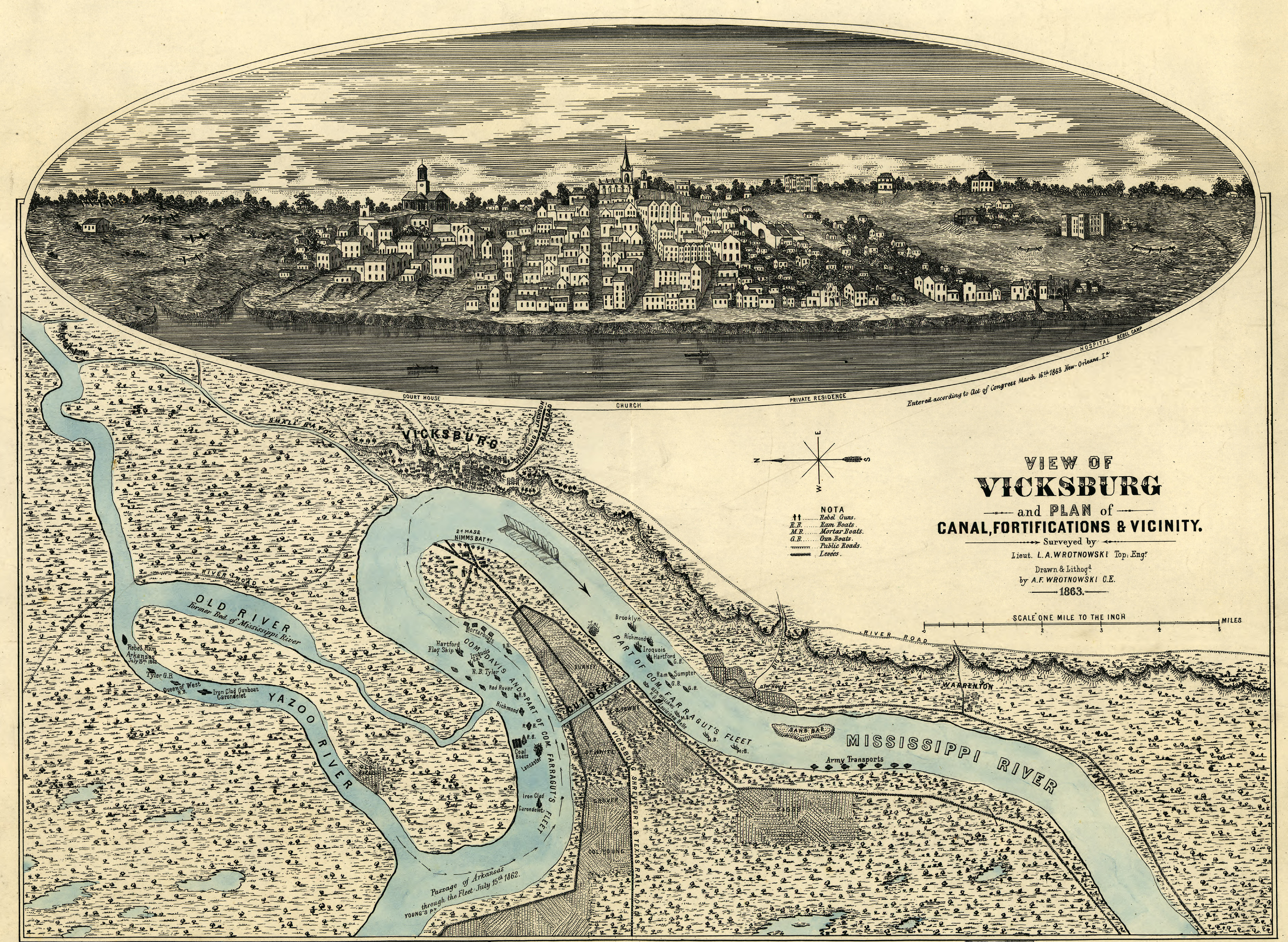
Original caption
View of Vicksburg and plan of the canal, fortifications & vicinity Surveyed by Lieut. L. A. Wrotnowski, Top: Engr. Drawn & lithogd. by A. F. Wrotnowski C.E.
Source citation
Map Collections, Library of Congress Geography and Map Division
Source note
Indicates fortifications, location, type and names of boats, roads, railroads, levees, drainage, vegetation, and the names of a few residents.
Inscribed in the lower right hand corner "Major David C. Houston, Chief Engineer, 19th Army Corps, with the compliments from the author."
Inscribed in the lower right hand corner "Major David C. Houston, Chief Engineer, 19th Army Corps, with the compliments from the author."