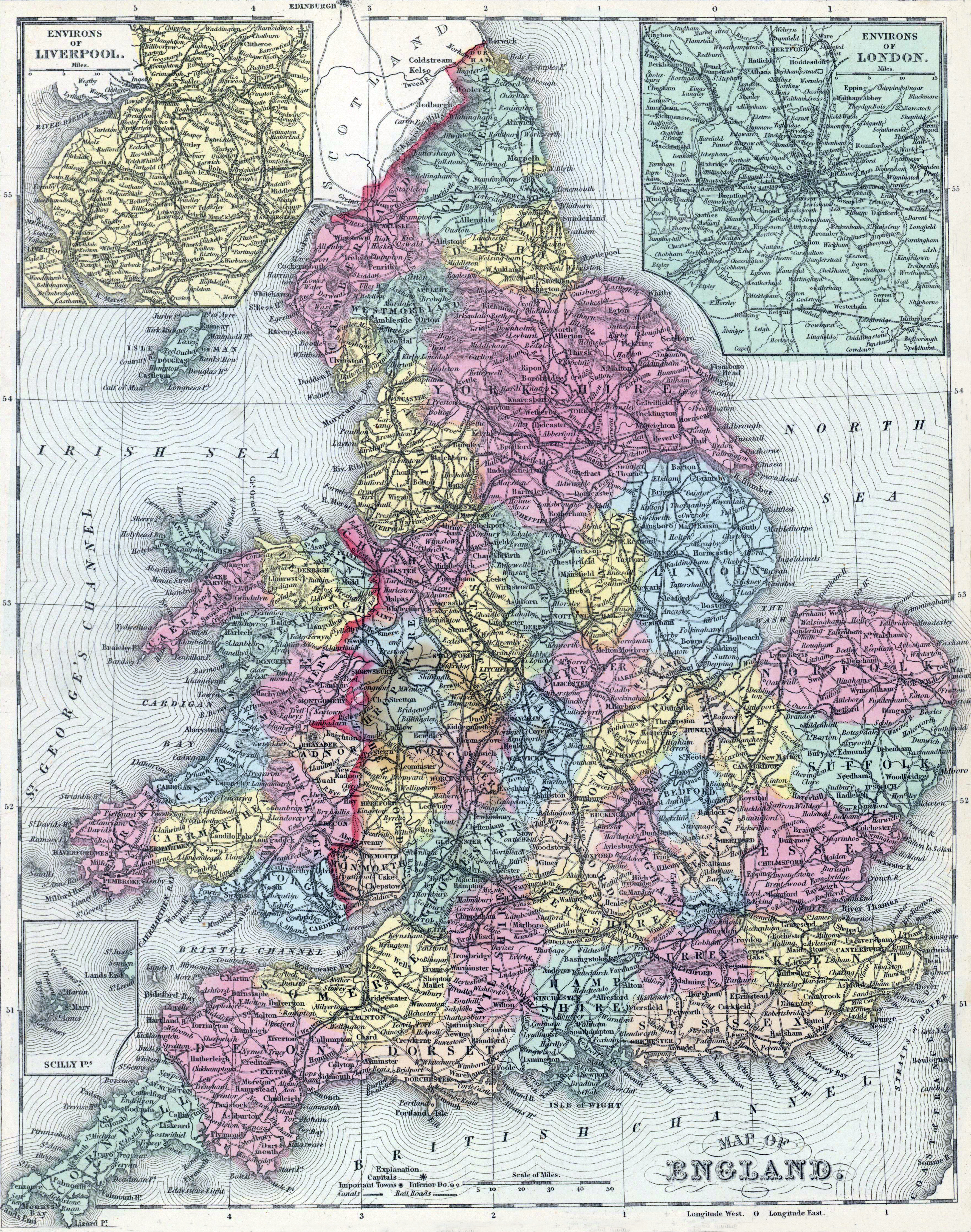
Mitchell's New Universal Atlas.... (Philadelphia: Charles Desilver, 1857), 49.
How to Cite This Page: "England and Wales, 1857, zoomable map," House Divided: The Civil War Research Engine at Dickinson College, https://hd.housedivided.dickinson.edu/node/29974.
