
Download image

Scanned by
Don Sailer, Dickinson College
Scan date
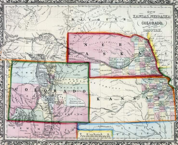
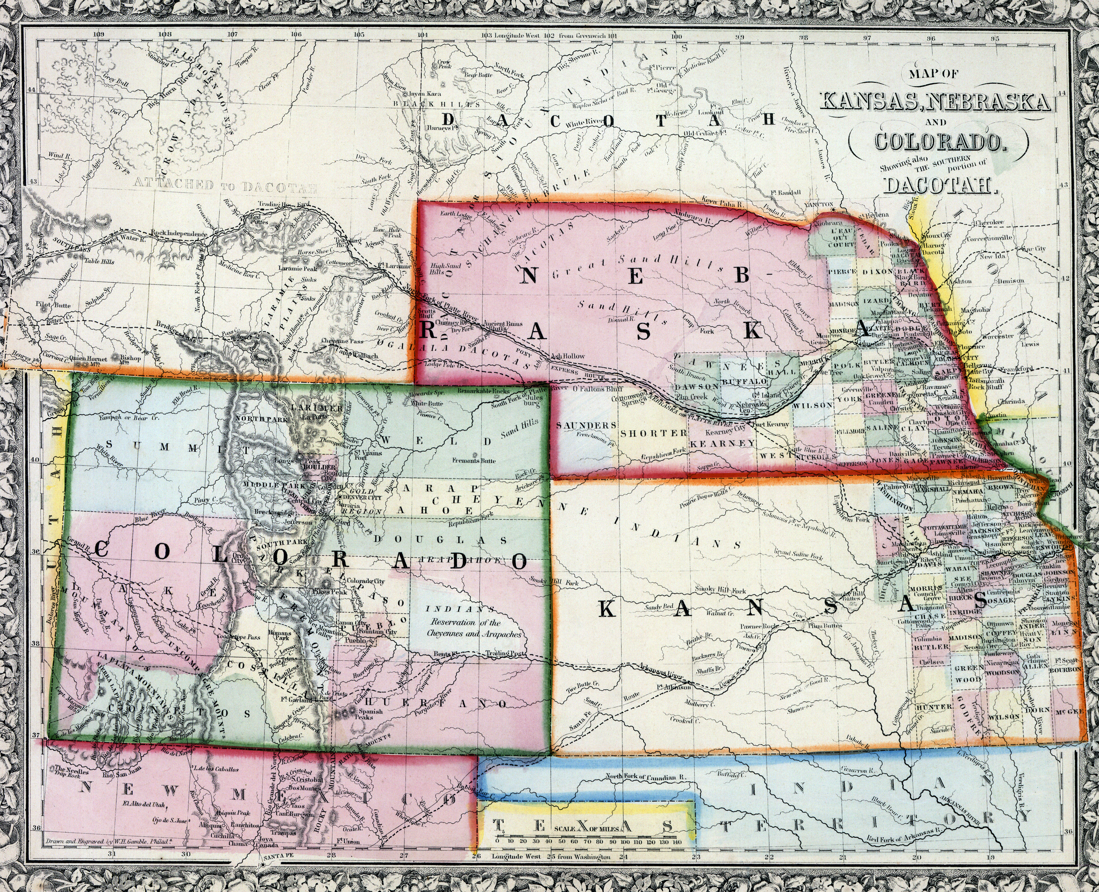
Depicted ContentNorth Dakota
Depicted ContentIndian Territory
Depicted ContentSouth Dakota
Depicted ContentColorado
Depicted ContentNebraska
Depicted ContentKansas
Image type
map
Original caption
Map of Kansas, Nebraska and Colorado, showing the southern portions of Dacotah
Source citation
Mitchell's New General Atlas.... (Philadelphia: S. Augustus Mitchell, 1866), 43.