

Scanned by
Library of Congress
Notes
Cropped, sized, and prepared for use by John Osborne, Dickinson College, January 2, 2008.
Image type
map
Courtesy of
Library of Congress Geography and Map Division, Washington DC
Original caption
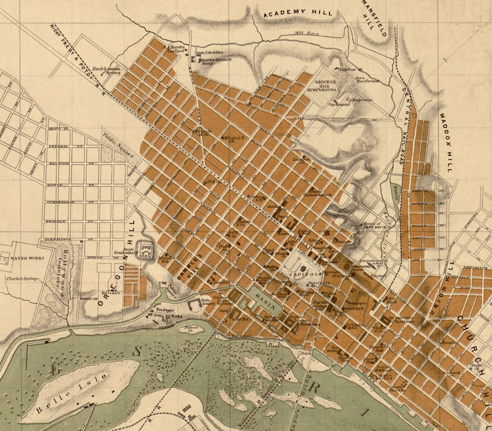
Map of the city of Richmond, Virginia/From a survey by I. H. Adams, Assist., U.S. Coast Survey, 1858, with additions from Smith's map of Henrico County, 1853. Prepared at the U.S. Coast Survey Office, A.D. Bache, Supt. H. Lindenkohl & Chas. G. Krebs, lith.
Source citation
United States Coast Survey, MAP OF THE CITY OF RICHMOND, VIRGINIA ... Map. Washington DC: U.S. Coast Survey, 1864. From Library of Congress CIVIL WAR MAPS COLLECTION
Source note
http://hdl.loc.gov/loc.gmd/g3884r.cw0645600