Southern Eastern Seaboard - New York to St. Augustine, 1857

Download image

Scanned by
John Osborne
Scan date
Depicted ContentUnited States of America
Image type
map
Source citation
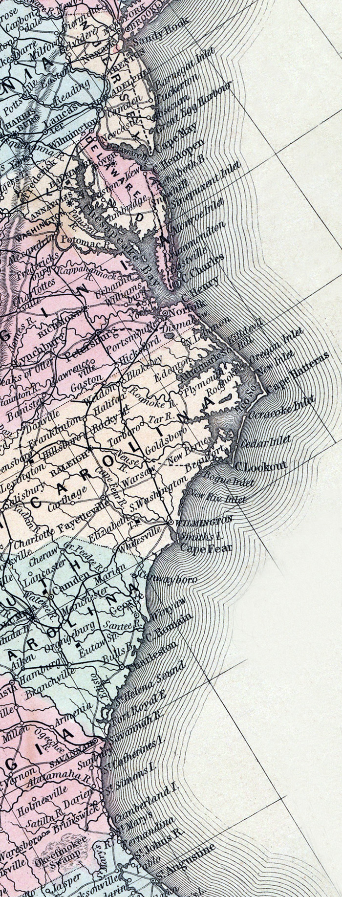
Mitchell's New Universal Atlas.... (Philadelphia: Charles Desilver, 1857), 5.
Source note
Cropped from much larger image of the United States, also available.
How to Cite This Page: "Southern Eastern Seaboard - New York to St. Augustine, 1857," House Divided: The Civil War Research Engine at Dickinson College, https://hd.housedivided.dickinson.edu/index.php/node/19691.