

Scanned by
Library of Congress
Notes
Cropped, sized, and adjusted for use here by John Osborne, Dickinson College, June 1, 2008.
Image type
map
Courtesy of
Library of Congress Geography and Map Division
Original caption
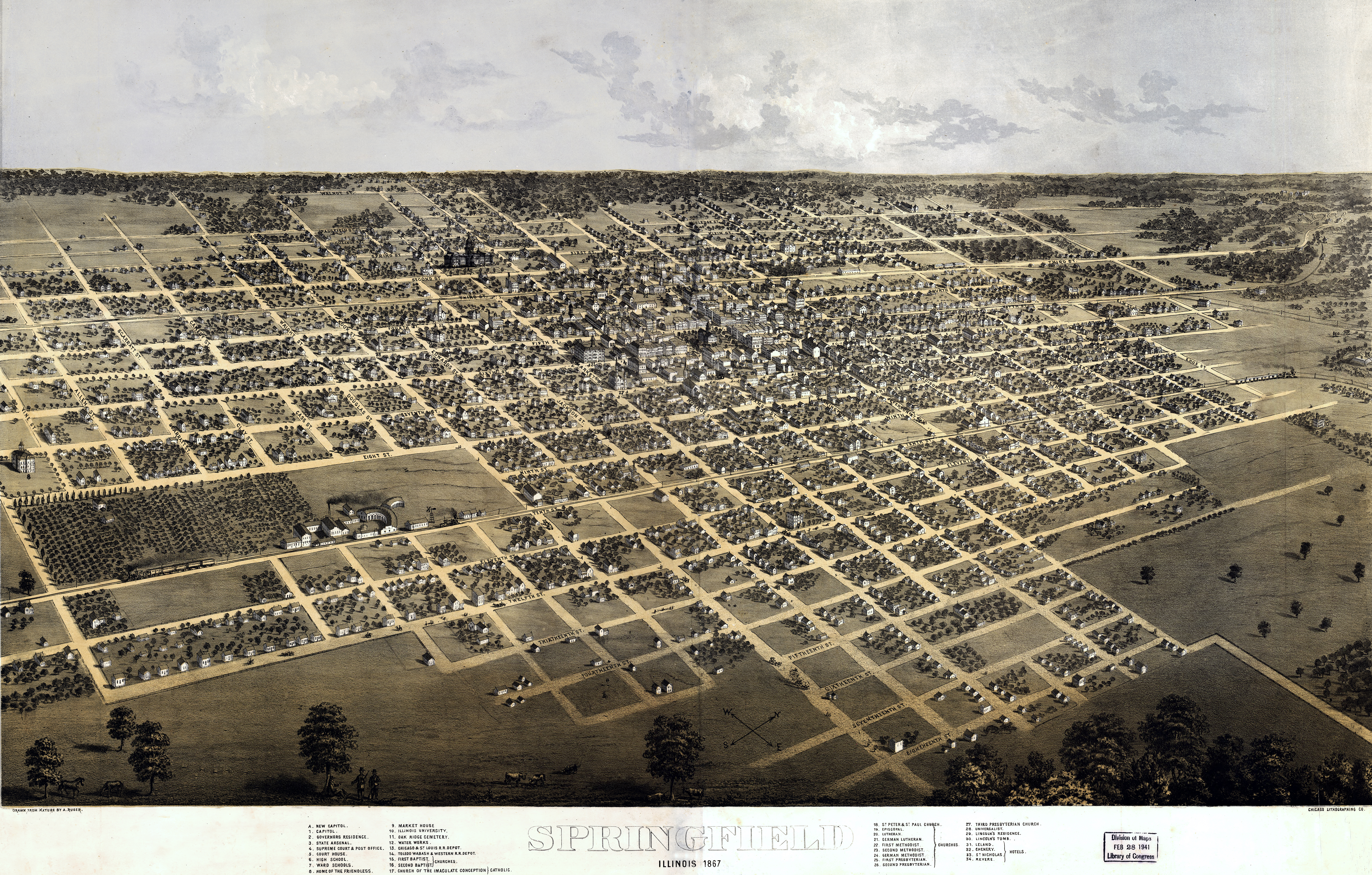
Springfield, Illinois, 1867. Drawn from nature by A. Ruger.
Source citation
Panoramic Map Collection, Library of Congress