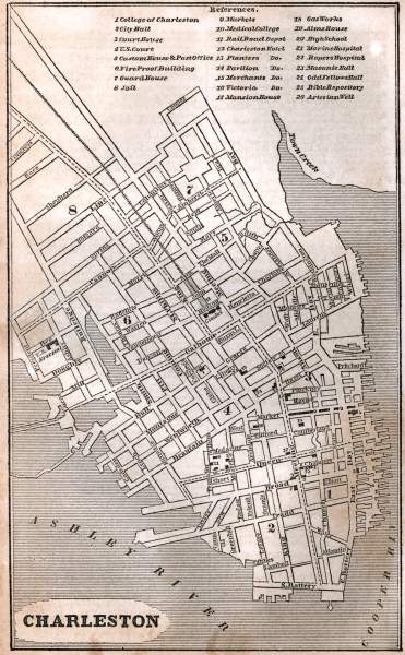
Charleston, South Carolina, 1853, zoomable map

Download image

Scanned by
John Osborne, Dickinson College
Scan date
Depicted ContentCharleston, SC
Image type
map
Original caption
Charleston
Source citation
Fanning's Illustrated Gazetteer of the United States.... (New York: Phelps, Fanning & Co., 1853), 75.
How to Cite This Page: "Charleston, South Carolina, 1853, zoomable map," House Divided: The Civil War Research Engine at Dickinson College, https://hd.housedivided.dickinson.edu/index.php/node/24486.