

Scanned by
John Osborne
Scan date
Notes
Cropped, sized, and prepared for use by John Osborne, Dickinson College, October 6, 2009.
Image type
map
Source citation
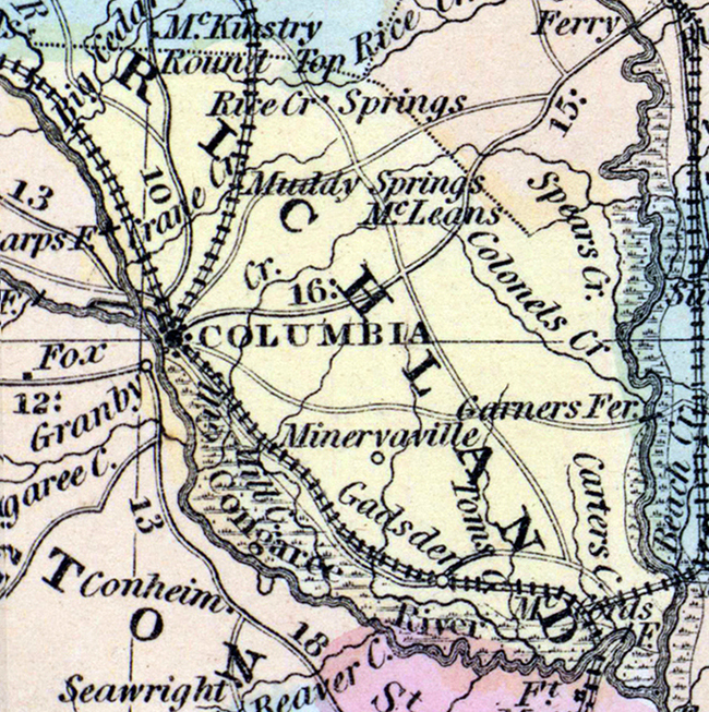
Mitchell's New Universal Atlas.... (Philadelphia: Charles Desilver, 1857), 19.
Source note
Cropped from the larger original image of the state of South Carolina, also available here. Note that South Carolina was divided into judicial districts until 1868, when the new constitution designated counties based on the old districts.