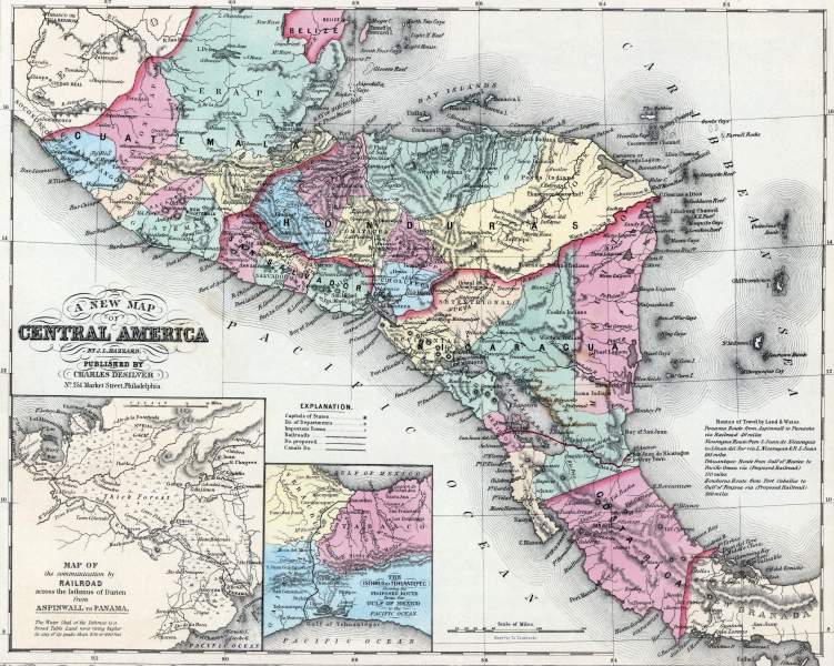
Central America, 1857, zoomable map

Download image

Scanned by
John Osborne, Dickinson College
Scan date
Notes
Cropped, sized, and prepared for use by John Osborne, Dickinson College, November 1, 2009.
Depicted ContentRailroads
Depicted ContentPanama
Depicted ContentCentral America
Image type
map
Source citation
Mitchell's New Universal Atlas.... (Philadelphia: Charles Desilver, 1857), 40.
Source note
Some staining from use. 
How to Cite This Page: "Central America, 1857, zoomable map," House Divided: The Civil War Research Engine at Dickinson College, https://hd.housedivided.dickinson.edu/index.php/node/29543.