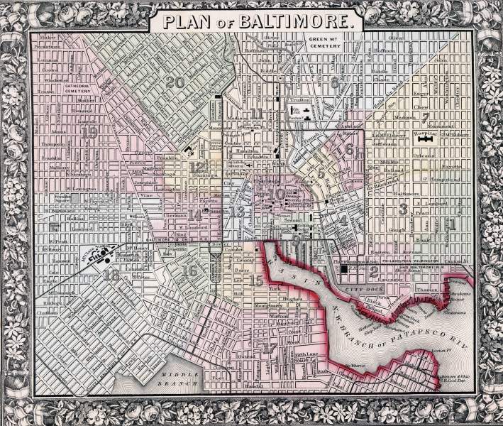
Baltimore, 1860, zoomable map

Download image

Scanned by
Don Sailer, Dickinson College
Scan date
Depicted ContentBaltimore, MD
Image type
map
Original caption
Plan of the City of Baltimore
Source citation
Mitchell's New General Atlas.... (Philadelphia: S. Augustus Mitchell, 1866), 25.
How to Cite This Page: "Baltimore, 1860, zoomable map," House Divided: The Civil War Research Engine at Dickinson College, https://hd.housedivided.dickinson.edu/index.php/node/31597.