

Scanned by
Don Sailer, Dickinson College
Scan date
Image type
map
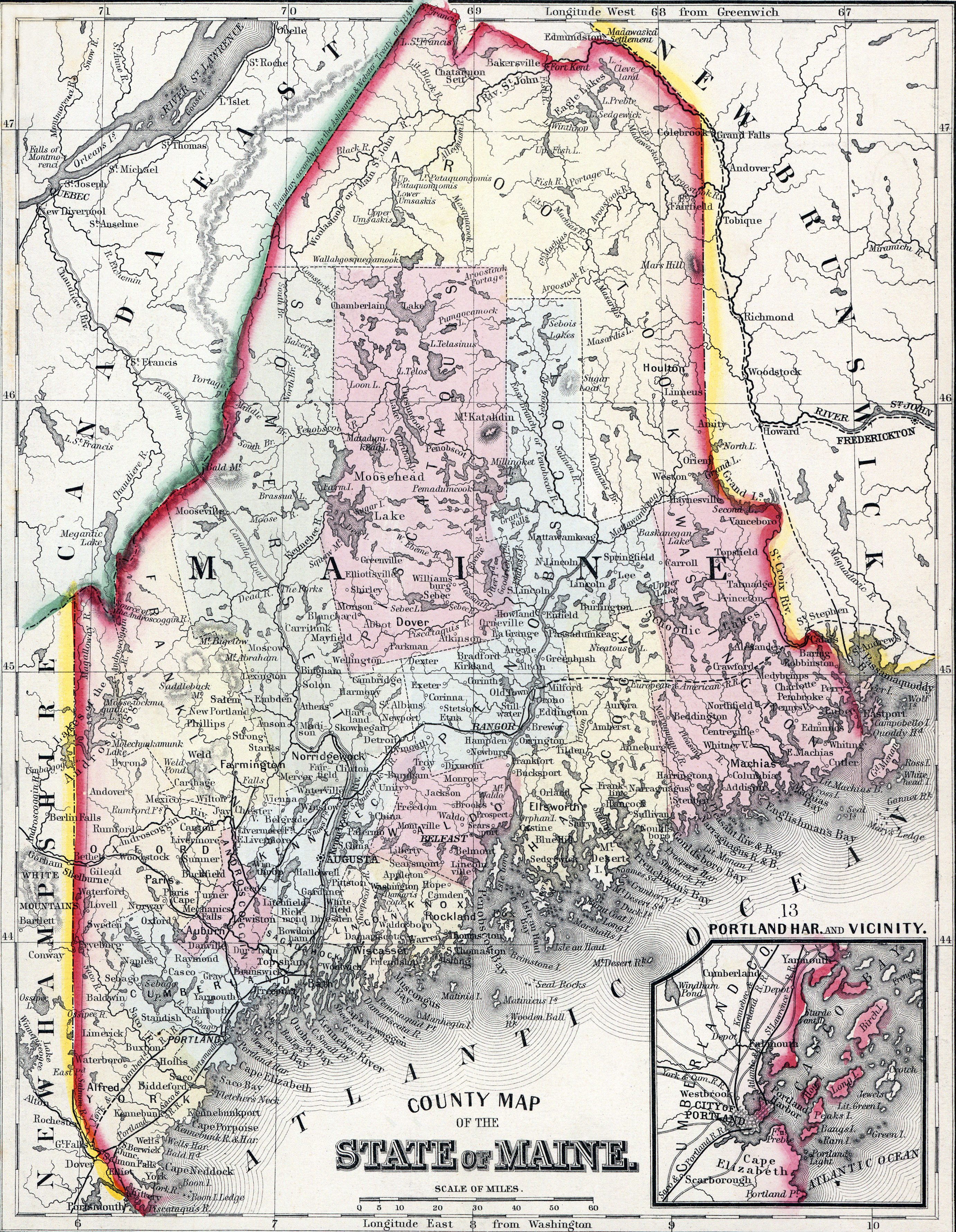
Original caption
County Map of the State of Maine
Source citation
Mitchell's New General Atlas.... (Philadelphia: S. Augustus Mitchell, 1866), 12..