

Scanned by
John Osborne, Dickinson College
Notes
Sized, cropped, and adjusted for use here by Don Sailer, Dickinson College, March 25, 2011.
Image type
map
Courtesy of
Cumberland County Historical Society, Carlisle, PA
Source citation
Map Collection, Cumberland County Historical Society
Source note
The original of this image is held in the Cumberland County Historical Society in Carlisle, Pennsylvania. Please include this in your citation. Should higher resolution copies be required for any reason, please contact the Cumberland County Historical Society or visit their archives. The House Divided Project at Dickinson College is grateful for the partnership and assistance of the Society.
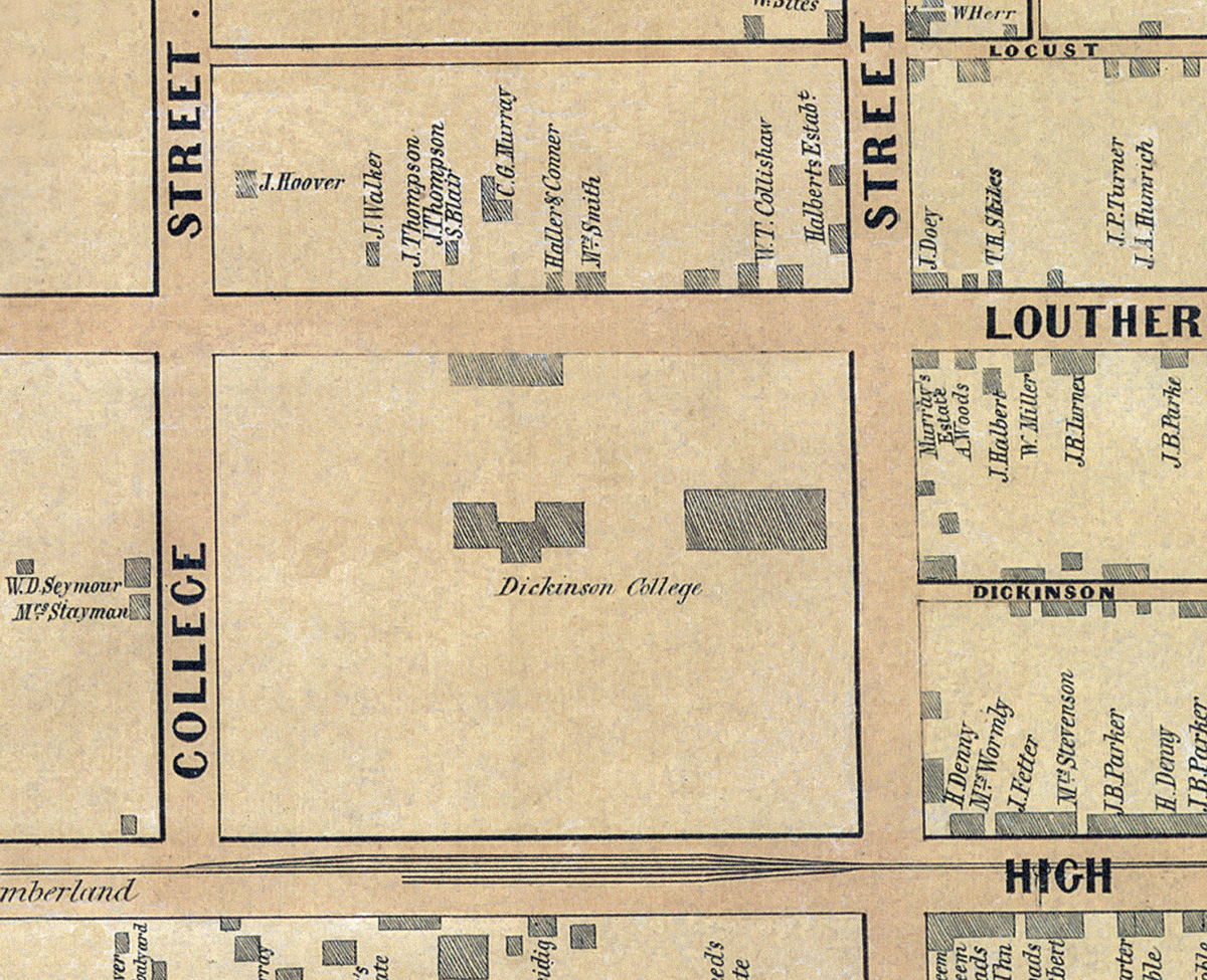
Cropped from the larger original image of the Borough of Carlisle, available as a zoomable image here.
Cropped from the larger original image of the Borough of Carlisle, available as a zoomable image here.