Scanned by
Library of Congress
Notes
Sized, cropped, and adjusted for use here by John Osborne, Dickinson College, February 27, 2012.
Image type
map
Courtesy of
Library of Congress Prints and Photographs Division
Original caption
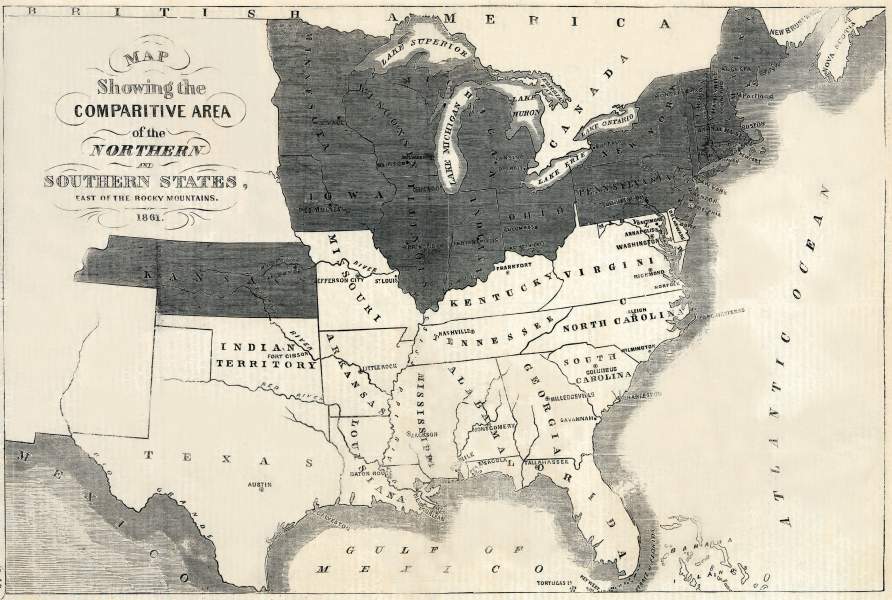
Map showing the comparitive area of the Northern and Southern states east of the Rocky Mountains, 1861
Source citation
Civil War Collection, Prints and Photograph Division, Library of Congress
Source note
Original first appeared in Harper's Weekly Magazine, February 23, 1861, p.124.

