Scanned by
Internet Archive
Notes
Sized, cropped, and adjusted for use here by John Osborne, Dickinson College, April 8, 2013.
Image type
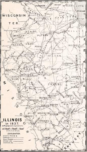
map
Original caption
Illinois in 1837, with proposed improvements
Source citation
John Moses, Illinois, historical and statistical comprising the essential facts of its planting and growth as a province, county, territory, and state ... (Chicago, IL: Fergus Printing Company Publishing Company, 1889), 410.

