
Scanned by
John Osborne
Scan date
Image type
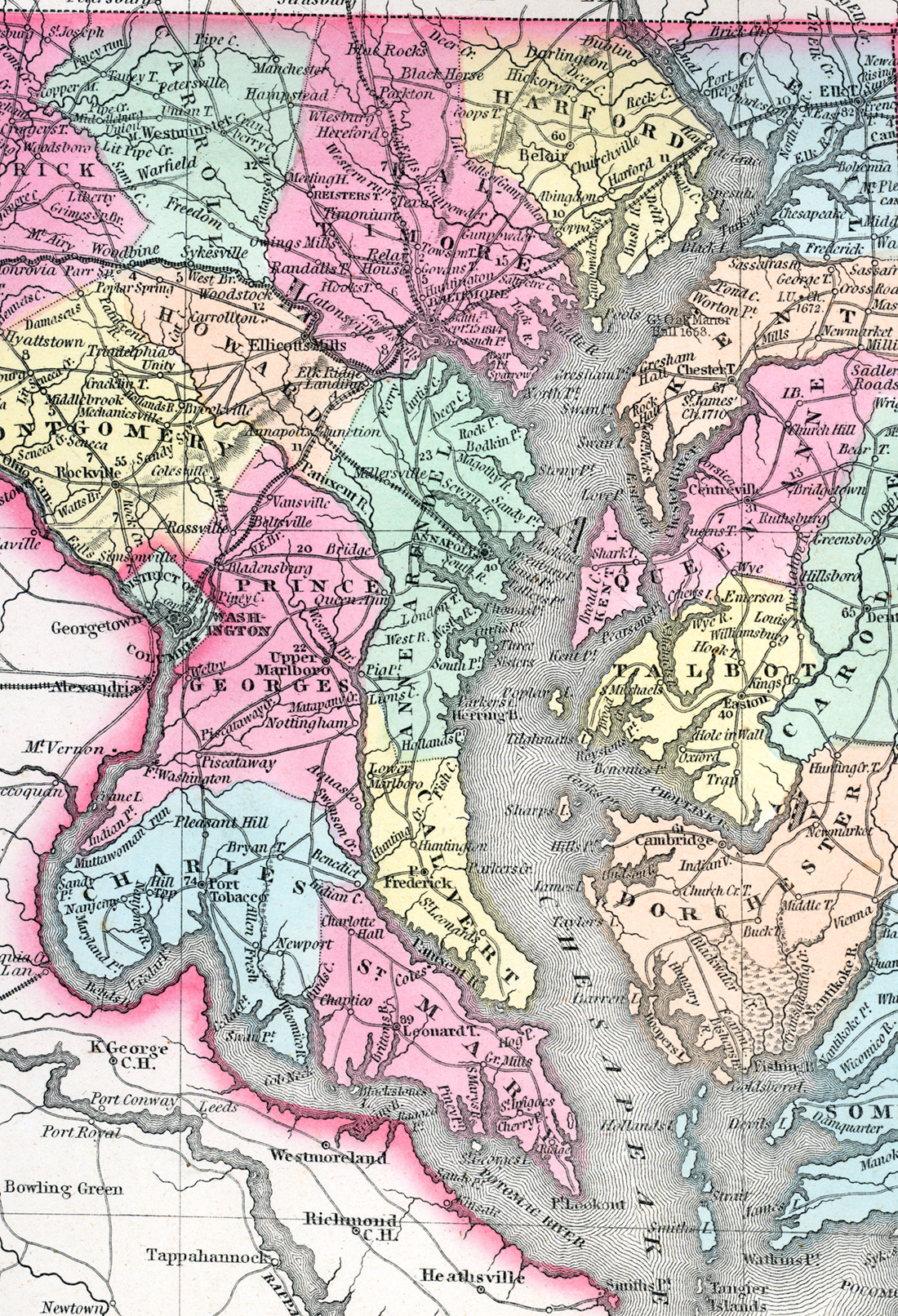
map
Source citation
Mitchell's New Universal Atlas.... (Philadelphia: Charles Desilver, 1857), 16.
Source note
Cropped from much larger image of the states of Maryland and Delaware, also available.