Schuyler County, MO

Headnote

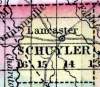
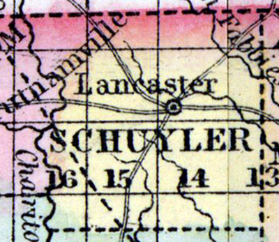
SCHUYLER COUNTY, situated on the north boundary of Missouri, with Chariton river on the west. Area, -------- square miles. Seat of justice, Lancaster. Pop. in 1850, 3,287. (Fanning's, 1853)

SCHUYLER, a county in the N. N. E. part of Missouri, bordering on Iowa, has an area of 324 square miles. It is bounded on the W. by Chariton river, and drained by the three forks of Fabius river, and the North fork of Salt river. The surface is diversified by prairies and woodlands; the soil is fertile. Indian corn, wheat, oats, and butter are the staples. In 1850 this county produced 221,780 bushels of corn; 7395 of wheat; 21,996 of oats, and 37,738 pounds of butter. It contained 5 churches, and 240 pupils attending public schools. Capital, Lancaster. Pop., 3287 ; of whom 3232 were free, and 55, slaves. (Baldwin & Thomas, A New and Complete Gazetteer of the United States ... 1854)


    Place Unit Type
    County
    Containing Unit
    Name Type
    Lancaster, MO City or Town
    How to Cite This Page: "Schuyler County, MO," House Divided: The Civil War Research Engine at Dickinson College, https://hd.housedivided.dickinson.edu/index.php/node/28307.