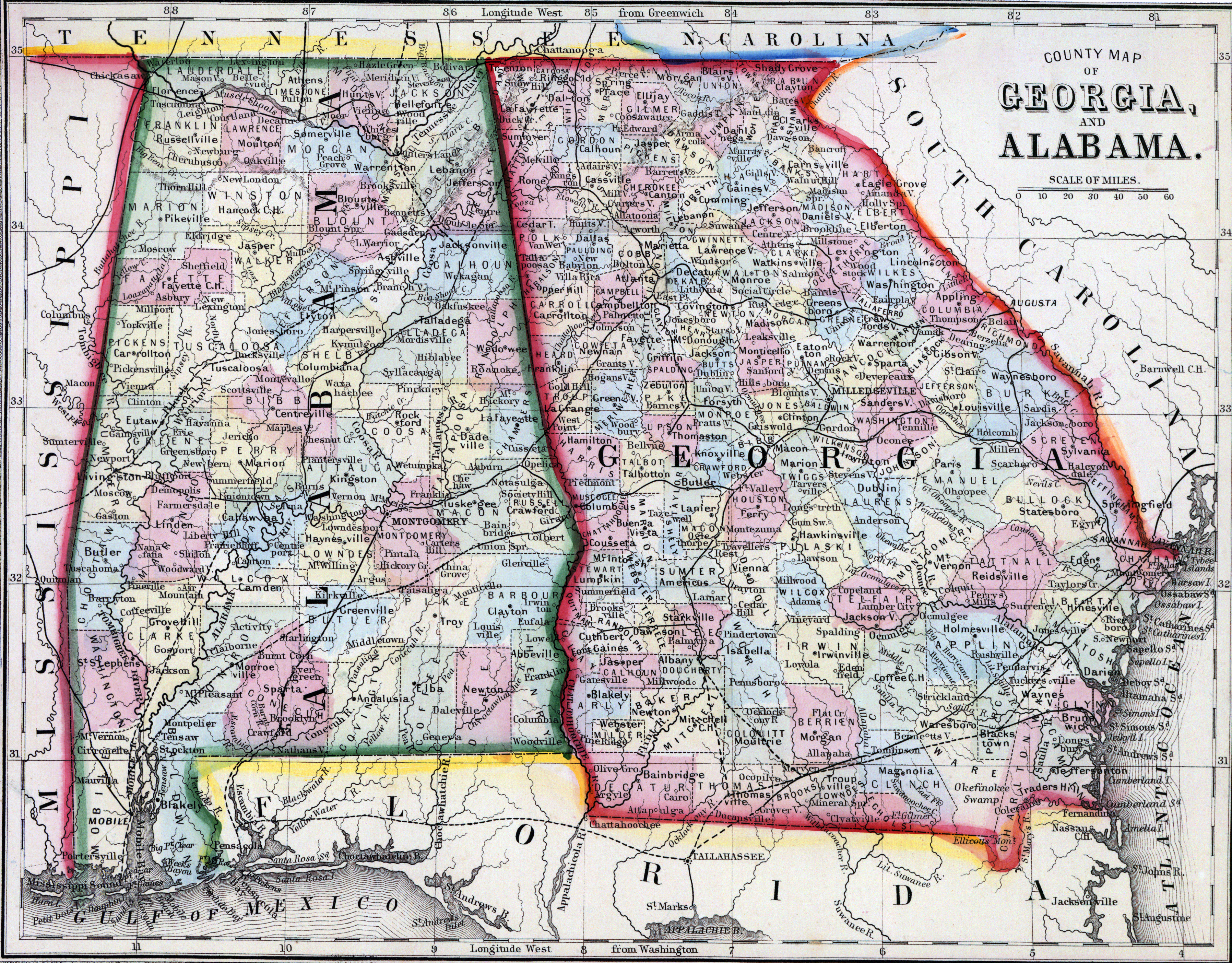
Mitchell's New General Atlas.... (Philadelphia: S. Augustus Mitchell, 1866), 29.
How to Cite This Page: "Alabama and Georgia, 1860, zoomable map," House Divided: The Civil War Research Engine at Dickinson College, https://hd.housedivided.dickinson.edu/index.php/node/31610.

