
Scanned by
Library of Congress
Notes
Cropped, sized, and prepared for use here by John Osborne, Dickinson College, August 6, 2009.
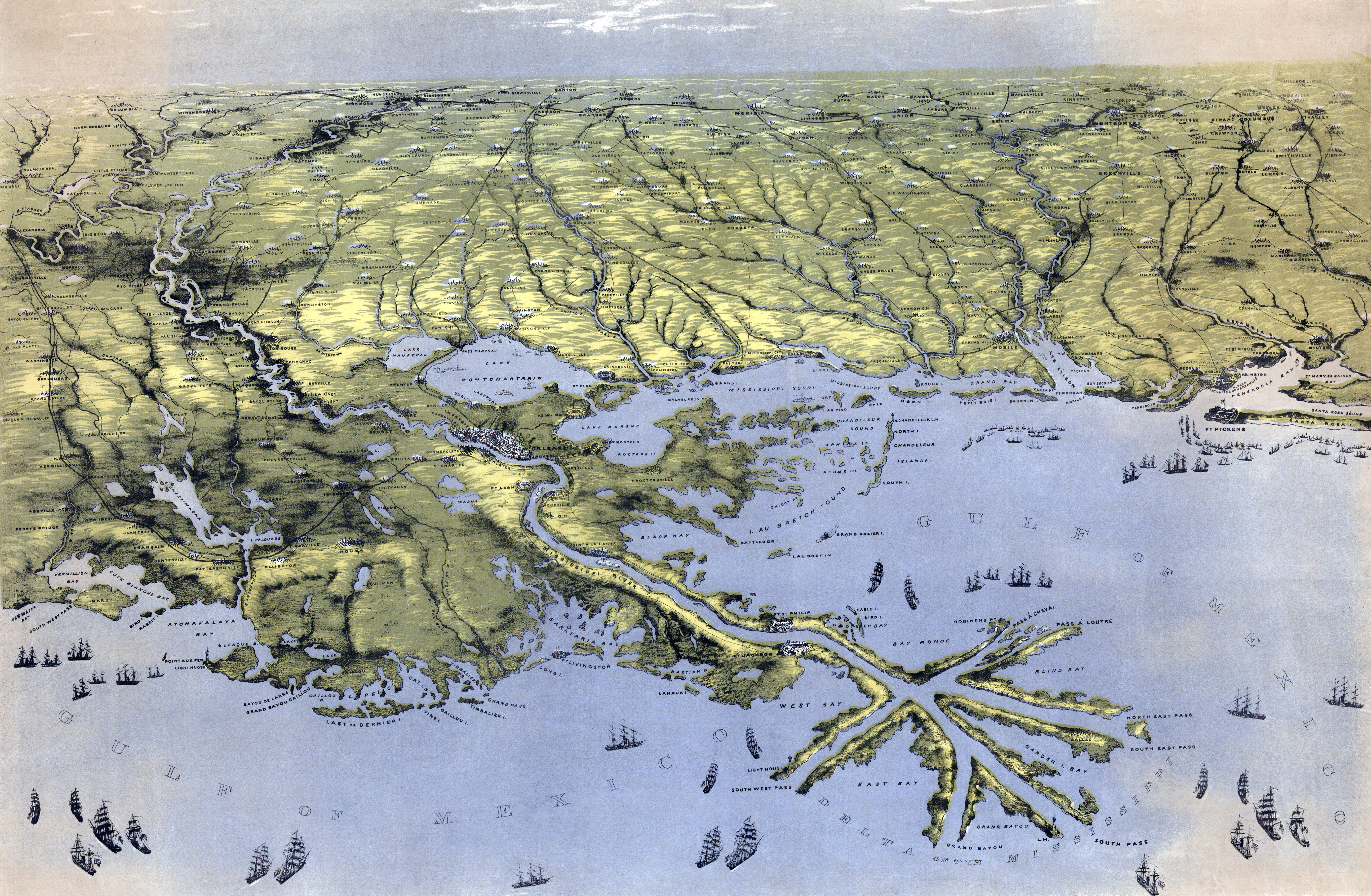
Depicted ContentMississippi River Valley
Depicted ContentAlabama
Depicted ContentMississippi
Depicted ContentLouisiana
Image type
map
Courtesy of
Library of Congress Geography and Maps Division
Original caption
Birds eye view of Louisiana, Mississippi, Alabama, and part of Florida Drawn from nature and lith. by John Bachmann.
Source citation
Civil War Maps Collection, Library of Congress Geography and Maps Division
Source note
Artist:: John Bachmann