
Scanned by
Library of Congress
Notes
Cropped, sized, and prepared for use here by John Osborne, Dickinson College, August 14, 2009.
Image type
map
Courtesy of
Library of Congress Geography and Maps Division
Original caption
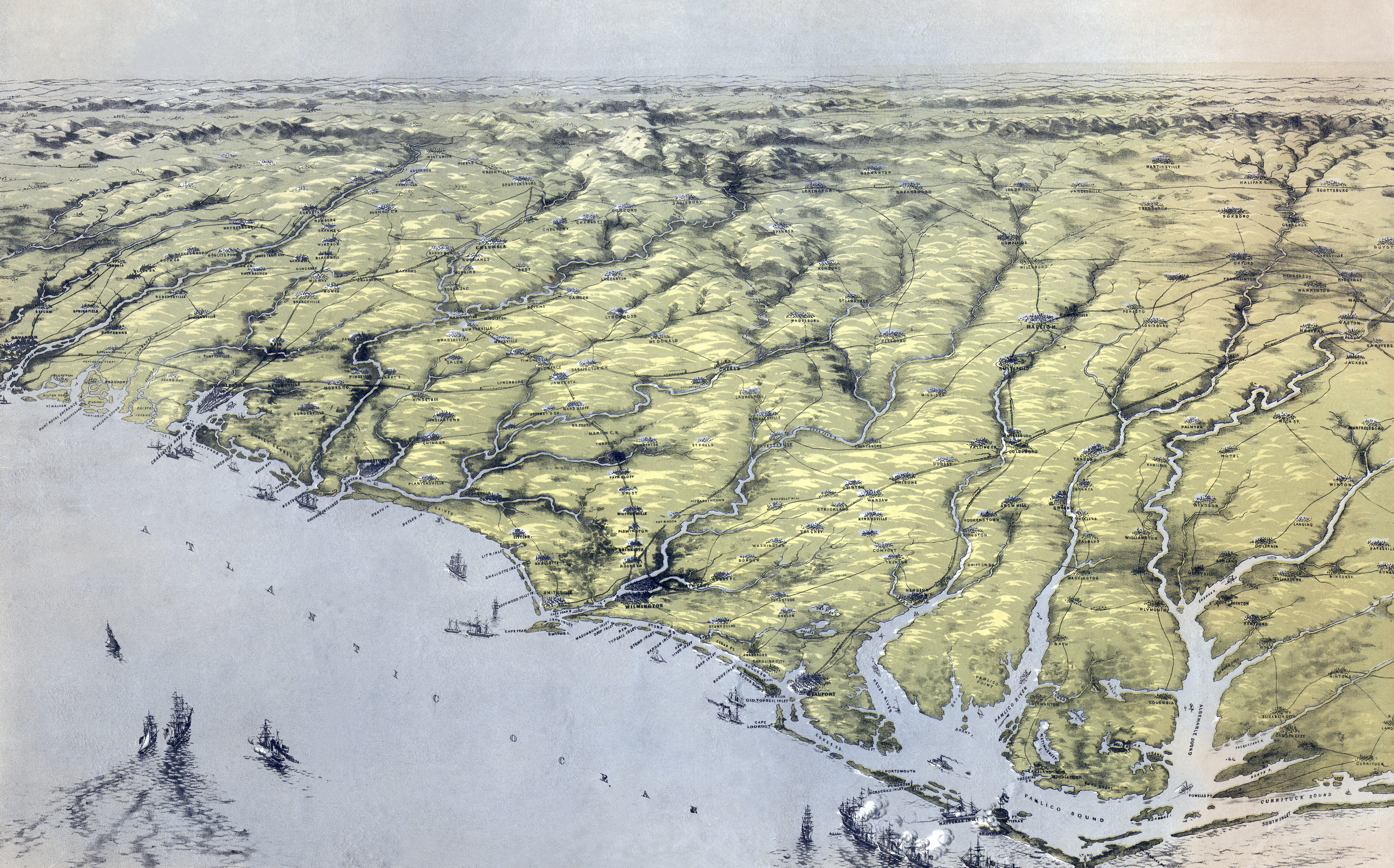
Birds eye view of North and South Carolina and part of Georgia Drawn from nature and lith. by John Bachmann.
Source citation
Library of Congress Geography and Maps Division