
Scanned by
John Osborne, Dickinson College
Scan date
Image type
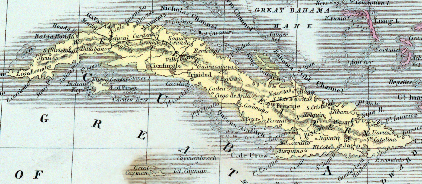
map
Source citation
Mitchell's New Universal Atlas.... (Philadelphia: Charles Desilver, 1857), 41.
Source note
Cropped and prepared for use from the larger image of the Caribbean, also available here. Scale approximately fifty mile to the inch.