
Download image

Scanned by
Don Sailer, Dickinson College
Scan date
Image type
map
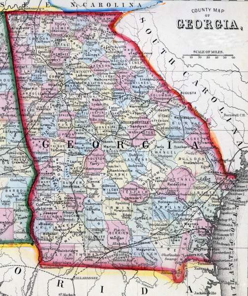
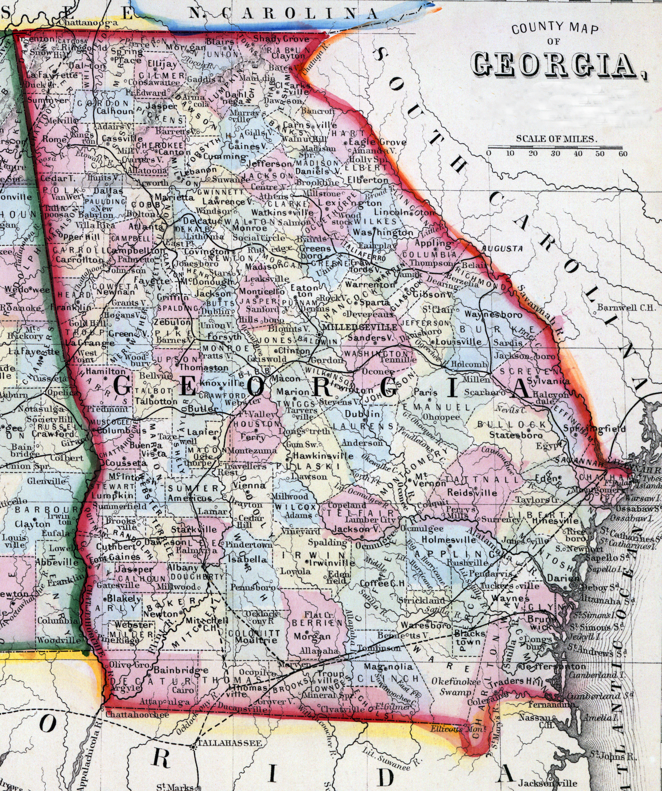
Original caption
County map of Georgia and Alabama
Source citation
Mitchell's New General Atlas.... (Philadelphia: S. Augustus Mitchell, 1866), 29.
Source note
Cropped from the larger image, also available here.