
Scanned by
Library of Congress
Notes
Cropped, sized, and prepared for use by Don Sailer, Dickinson College, November 21, 2009.
Image type
map
Courtesy of
Library of Congress Geography and Maps Division
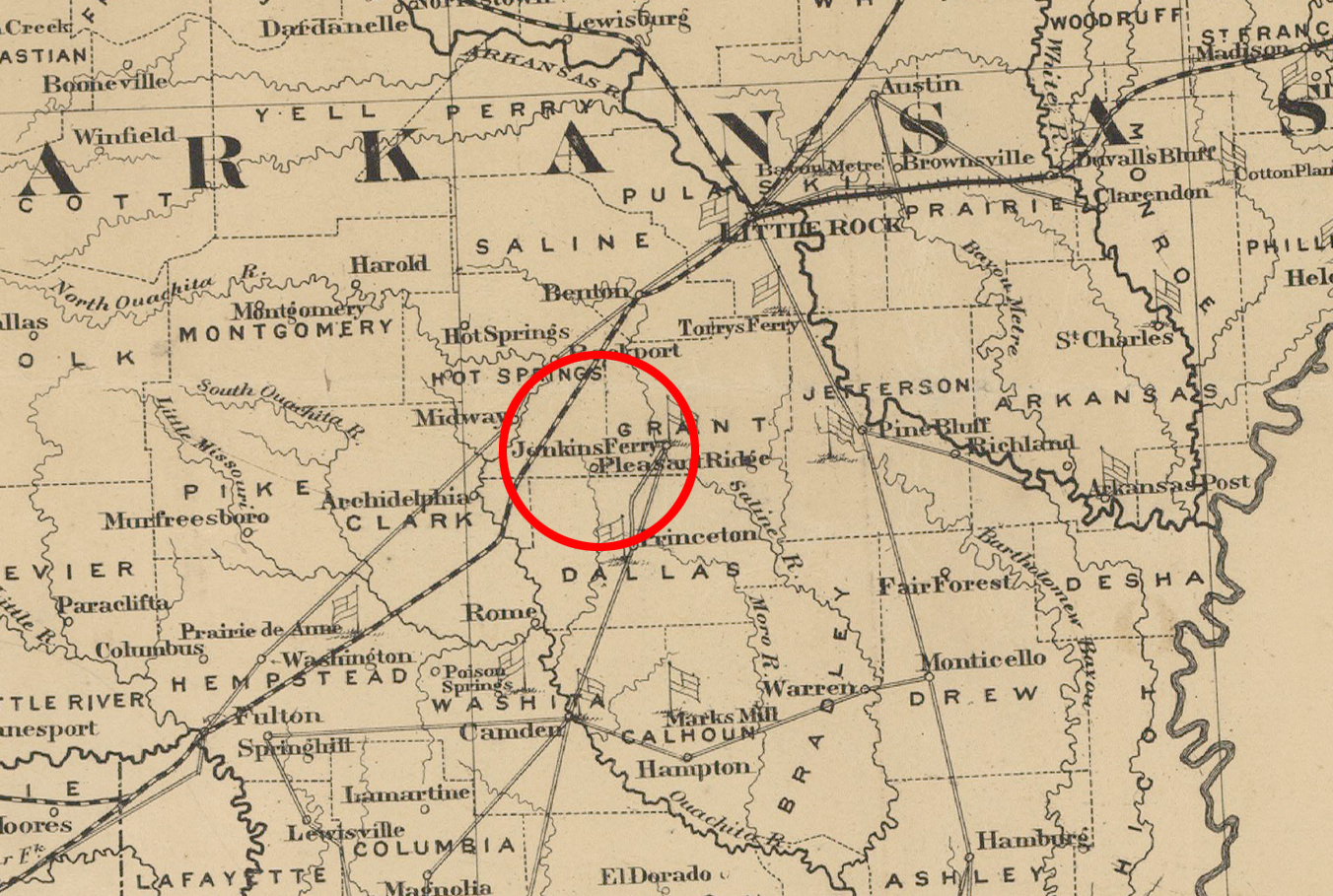
Original caption
Campaign map of Texas, Louisiana and Arkansas, showing all the battle fields and also the marches of Walker's Division. [1861-65] Entered according to Act of Congress in the year 1871 by E. H. Cushing. Engraved, printed and manufactured by G. W. & C. B. Colton & Co., New York.
Source citation
Library of Congress Geography and Maps Division
Source note
Cropped from the larger original map, also available here.
Original image has been adjusted here for presentation purposes.
Original image has been adjusted here for presentation purposes.