
Download image

Scanned by
John Osborne, Dickinson College
Scan date
Notes
Sized, cropped, and prepared for use here by John Osborne, Dickinson College, January 8, 2013
Image type
map
Courtesy of
United States Military Academy
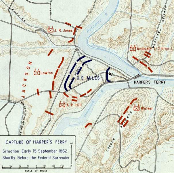
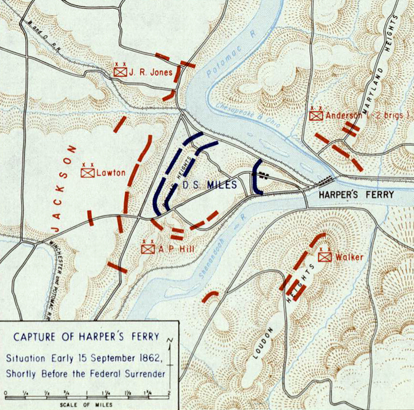
Original caption
Capture of Harper's Ferry ... Situation Early 15 September 1862, Shortly Before the Federal Surrender
Source citation
Gerald P. Stadler and Arthur V. Grant, Jr., Campaign Atlas of the American Civil War(West Point, NY: United States Military Academy, 1978), 13.