Gazetteer/Almanac
Headnote
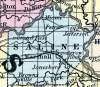
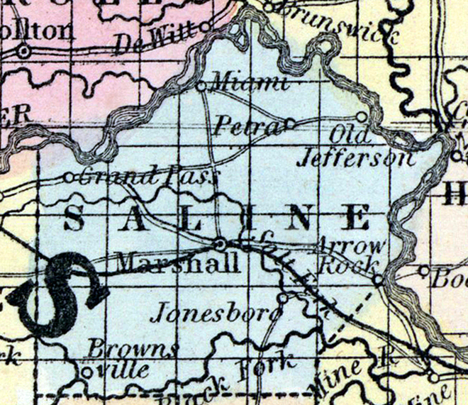
SALINE COUNTY, situated toward the northwest part of Missouri, with Missouri river on the north and east. Area, 829 square miles. Seat of justice, Marshall. Pop. in 1830, 2,873; in 1840, 5,258; in 1850, 8,843. (Fanning's, 1853)
SALINE, a county in the N. W. central part of Missouri, has an area of 750 square miles. The Missouri river forms the boundary on the N. and E. ; and the county is traversed by the Black and Salt forks of La Mine river, which unite near the S. E. border. The surface consists chiefly of undulating prairies, the soil of which is productive. Indian corn, wheat, oats, hay, tobacco, and hemp are the staples. In 1850 the county produced 539,030 bushels of corn ; 42,146 of wheat; 05,347 of oats, and 287,533 pounds of tobacco. It contained 11 churches, 1057 pupils attending public schools, and 60 attending other schools. The deficiency of timber is partly compensated by extensive beds of stone coal. There are valuable lead mines, and quarries of lime- stone and sandstone. Salt is procured from numerous Saline springs, from which the name is derived. Capital, Marshall. Population, 8843 ; of whom 6124 were free, and 2719, slaves. (Baldwin & Thomas, A New and Complete Gazetteer of the United States ... 1854)