
Scanned by
Library of Congress
Notes
Sized, cropped, and adjusted for use here by John Osborne, Dickinson College, June 29, 2010.
Image type
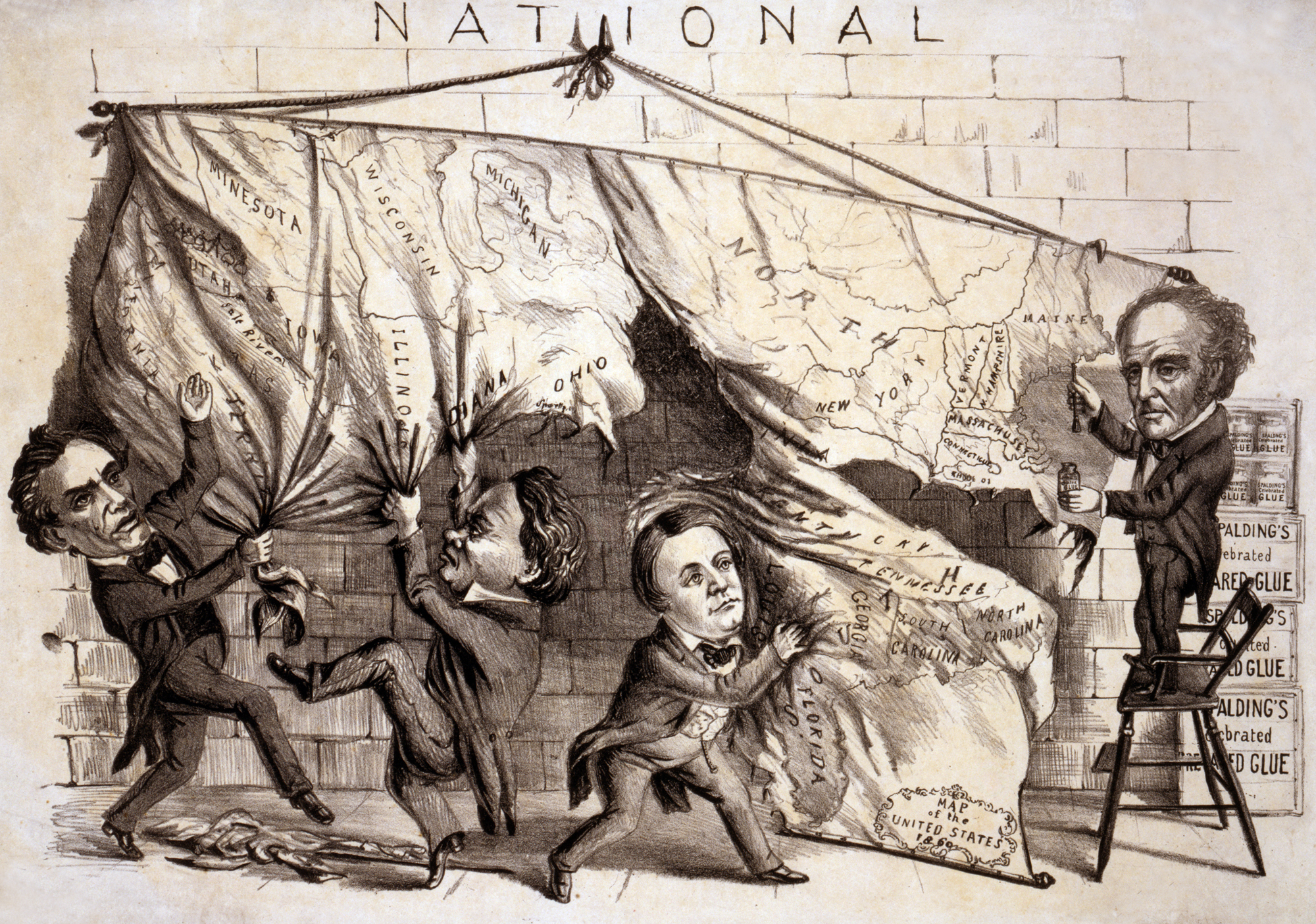
cartoon
Courtesy of
Library of Congress Prints and Photographs Division
Original caption
Dividing the national map
Source citation
American Cartoon Prints Collection, Library of Congress