

Scanned by
Library of Congress
Notes
Cropped, sized, and prepared for use here by John Osborne, Dickinson College, July 29, 2008.
Image type
map
Courtesy of
Library of Congress Geography and Maps Division
Original caption
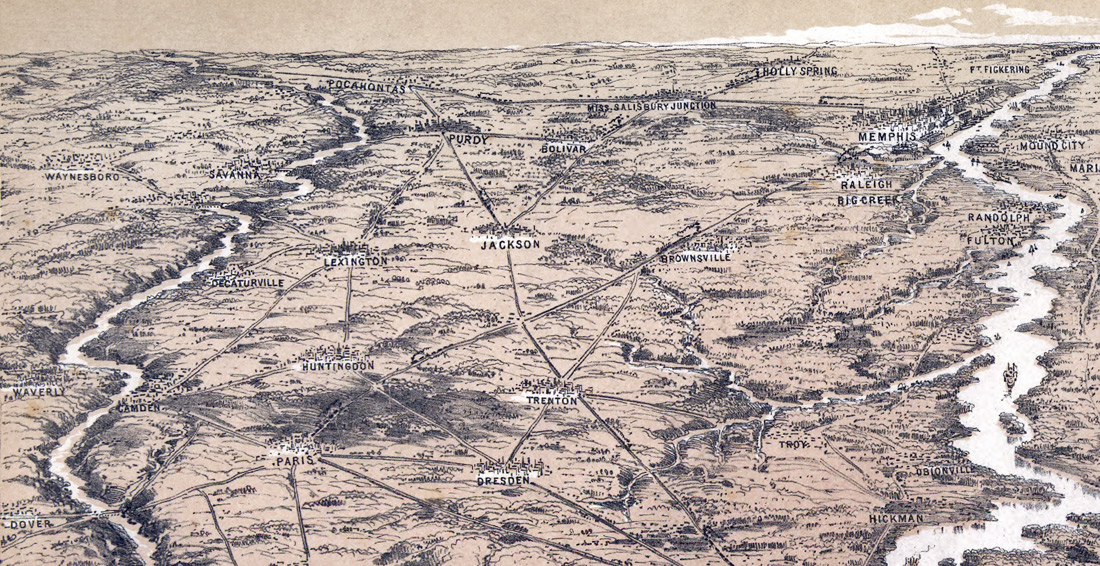
Bird's eye view of junction of the Ohio & Mississippi Rivers, showing Cairo and part of the southern states Drawn from nature and lith. by John Bachmann.
Source citation
Civil War Maps Collection, Library of Congress Geography and Maps Division
Source note
Cropped from larger version of the map, also available.