
Scanned by
John Osborne
Scan date
Notes
Cropped, sized, and prepared fro use here by John Osborne, Dickinson College, June 29, 2008.
Image type
map
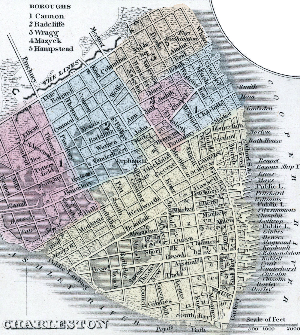
Source citation
Mitchell's New Universal Atlas.... (Philadelphia: Charles Desilver, 1857), 19.
Source note
Cropped from the larger image, a full map of the state of South Carolina, also available.