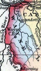
Wayne County, Virginia (Howe)
Gazetteer/Almanac
WAYNE is a new county, formed in 1842 from the southwestern part of Cabell. It is about 35 miles long, with a mean breadth of 10 miles. The Ohio forms its NW. boundary, the Tug Fork of Big Sandy divides it from Kentucky, and Twelve Pole creek rises in Logan and runs through it centrally. The surface of the county is considerably broken, and it is sparsely inhabited. The courthouse is at Trout's Hill.
Henry Howe, Historical Collections of Virginia… (Charleston, SC: William R. Babcock, 1852), 506.


