
Scanned by
John Osborne, Dickinson College
Scan date
Image type
map
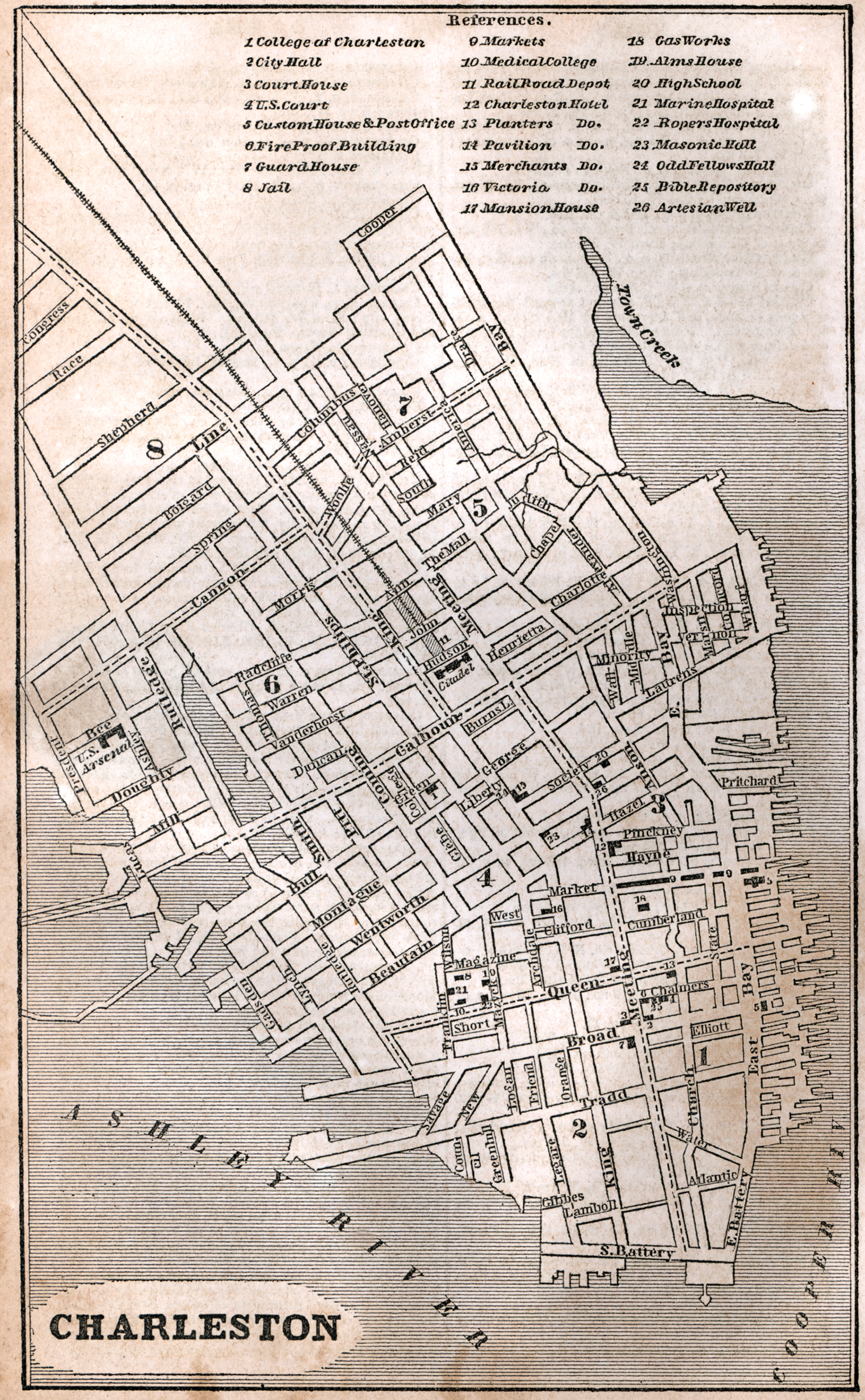
Original caption
Charleston
Source citation
Fanning's Illustrated Gazetteer of the United States.... (New York: Phelps, Fanning & Co., 1853), 75.