District of Columbia and Potomac River Valley, circa 1862, zoomable panoramic map

Download image

Scanned by
Library of Congress
Notes
Cropped, sized, and prepared for use here by John Osborne, Dickinson College, August 4, 2009.
Depicted ContentDistrict of Columbia
Depicted ContentPotomac River
Image type
map
Courtesy of
Library of Congress Geography and Maps Division
Original caption
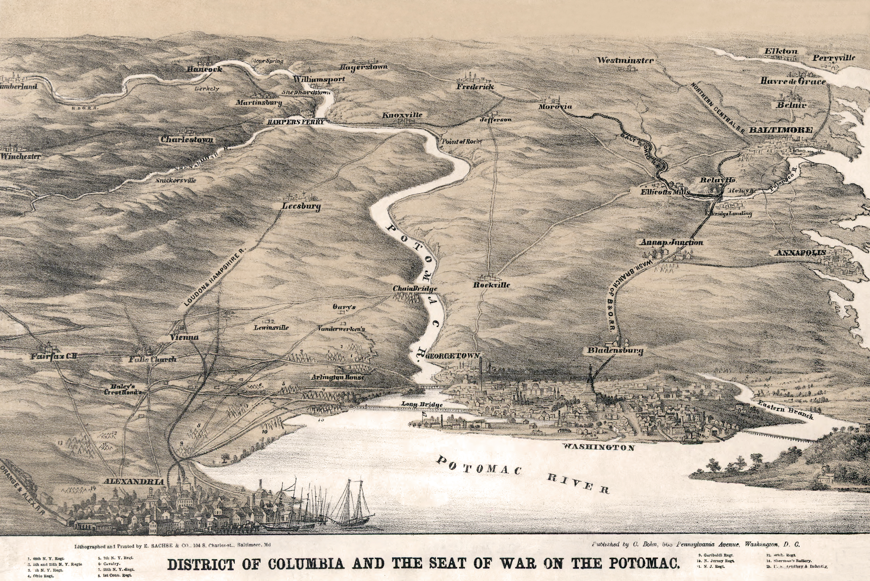
District of Columbia and the seat of war on the Potomac.
Source citation
Civil War Maps Collection, Library of Congress Geography and Maps Division
How to Cite This Page: "District of Columbia and Potomac River Valley, circa 1862, zoomable panoramic map," House Divided: The Civil War Research Engine at Dickinson College, https://hd.housedivided.dickinson.edu/node/28143.