
Scanned by
Don Sailer, Dickinson College
Scan date
Image type
map
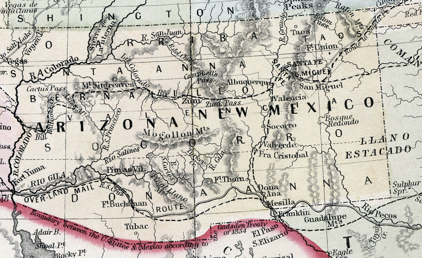
Original caption
Map of the United States and Territories, together with Canada, etc.
Source citation
Mitchell's New General Atlas.... (Philadelphia: S. Augustus Mitchell, 1866), 9.
Source note
Cropped from the larger image, also available here.