
Scanned by
Don Sailer, Dickinson College
Scan date
Notes
Cropped, sized, and prepared for use here by John Osborne, Dickinson College, February 24, 2010.
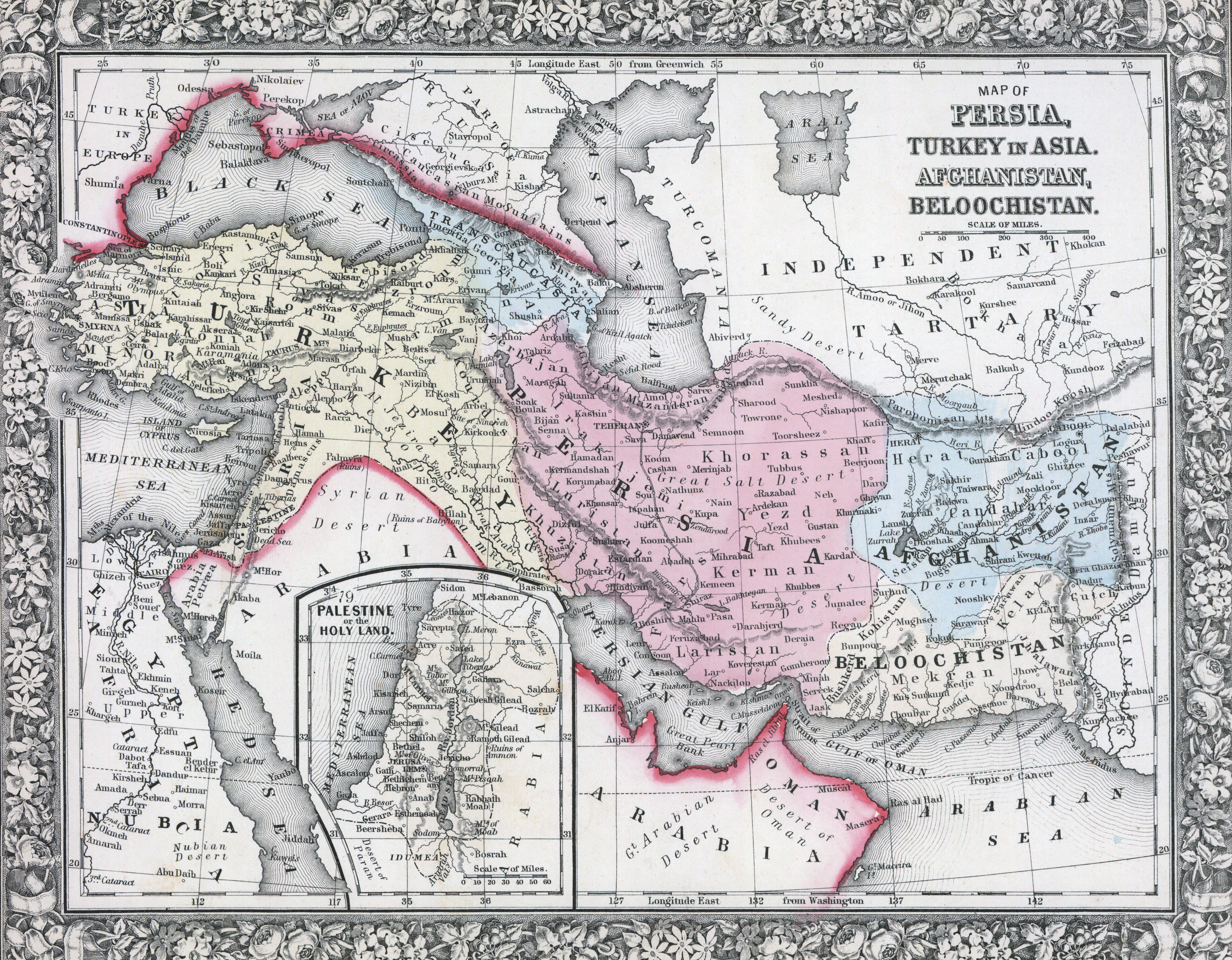
Depicted ContentOttoman Empire
Depicted ContentMiddle East
Depicted ContentTurkey
Depicted ContentPersia (Iran)
Image type
map
Original caption
Map of the Persia, Turkey in Asia, Afghanistan, Beloochistan
Source citation
Mitchell's New General Atlas.... (Philadelphia: S. Augustus Mitchell, 1866), 78.