
Scanned by
Don Sailer, Dickinson College
Scan date
Notes
Cropped, sized, and prepared for use here by John Osborne, Dickinson College, May 15, 2010.
Image type
map
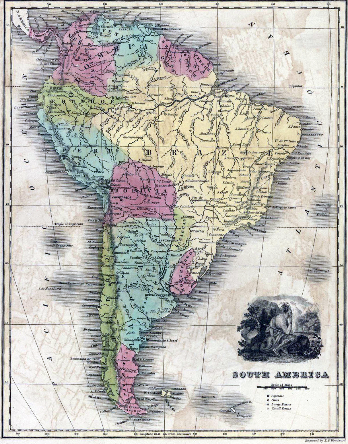
Original caption
South America
Source citation
Thomas T. Smiley, Smiley's Atlas, for the use of Schools and Families .... (Philadelphia: Hogan & Thompson, 1839), 8.
Source note
Hand colored.