
Scanned by
Joseph Williams, Archives and Special Collections, Dickinson College
Scan date
Notes
Cropped, sized, and prepared for use by John Osborne, Dickinson College, April 14, 2014.
Image type
map
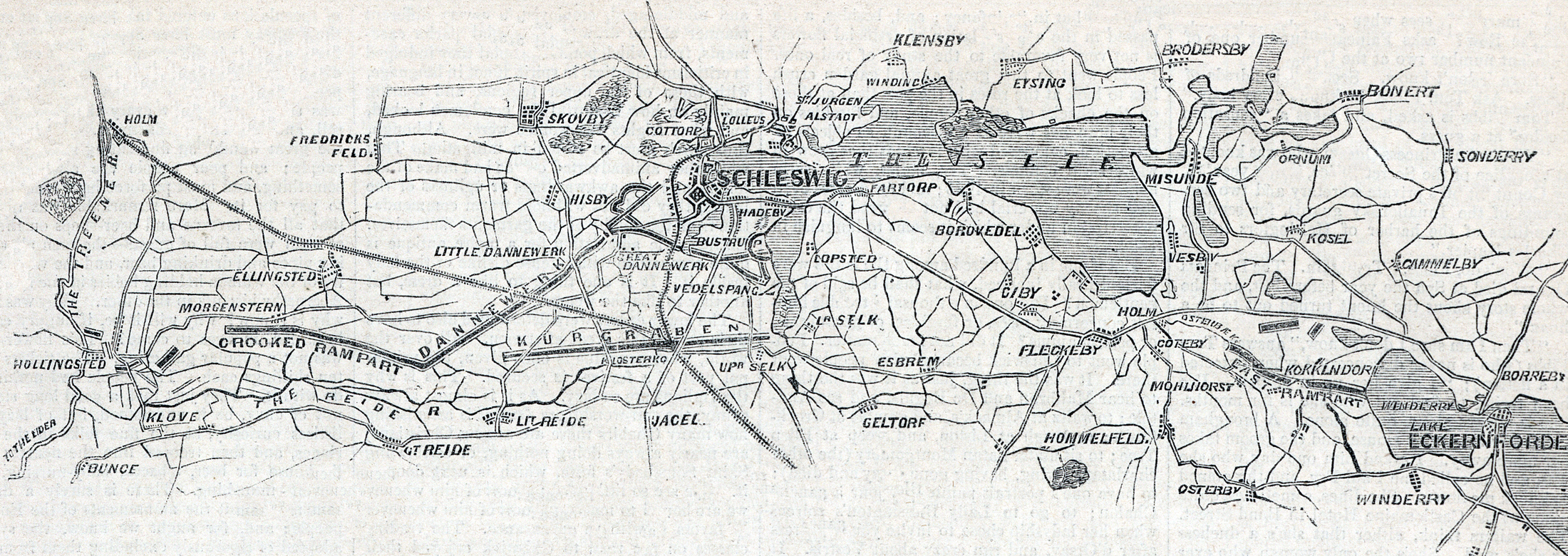
Original caption
Map of the scene of the hostilities in Schleswig, showing the defensive works of the Danes
Source citation
Harper's Weekly Magazine, March 5, 1864, p. 149.