
Scanned by
Jia Ma, House Divided, Dickinson College
Scan date
Notes
Cropped, sized, and prepared for use by John Osborne, Dickinson College, December 1, 2015
Image type
engraving
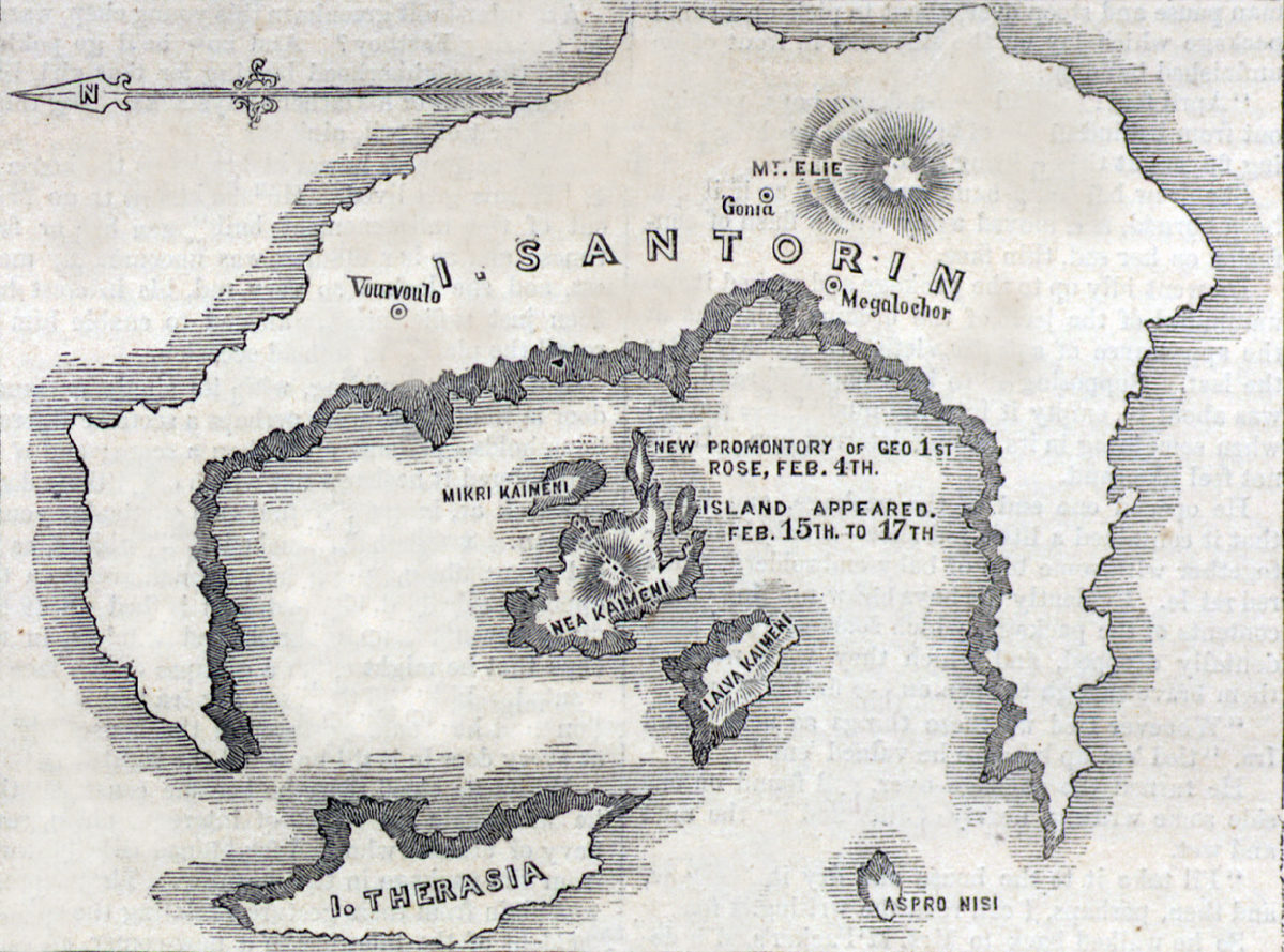
Original caption
Map showing the scene of the eruption, between 102° and 103° longitude and 36° and 37° latitude.
Source citation
Harper's Weekly Magazine, April 7, 1866, p. 217.