Gazetteer/Almanac
Headnote
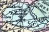
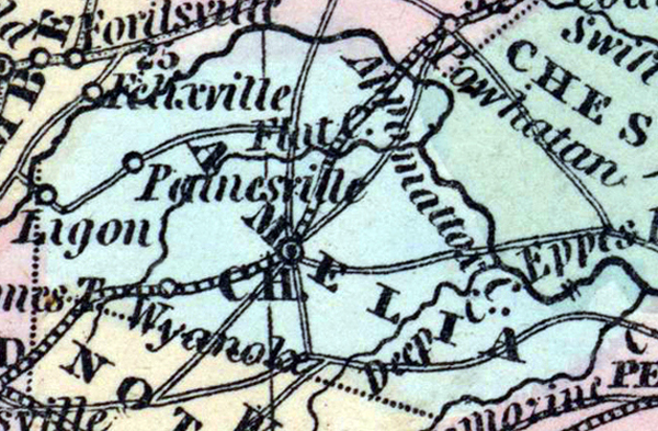
AMELIA was formed in 1734, from part of Prince George. Its length is about 30, mean breadth 10 miles. It is drained by the Appomattox. The surface is agreeably diversified; the soil on the hills poor and usually much worn, on the bottoms fertile, and it has generally much deteriorated from its original fertility, owing to the injudicious modes of cultivation pursued by its early settlers. Pop. 1830, 11,031; in 1840, whites 3,074, slaves 7,023, free colored, 223; total, 10,320. (Historical Collections, 1852)