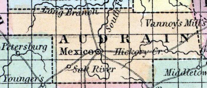
AUDRAIN COUNTY, situated toward the northeast part of Missouri, drained by the south fork of Salt river. Area, 435 square miles. Courts are held at Mexico. Pop. in 1840, 1,949; in 1850, 3,506. (Fanning's, 1853)
AUDRAIN, a county in the N. E. central part of Missouri, has an area of 680 square miles. It is drained by the South Fork and Long Branch of Salt river, and by the sources of Riviere au Cuivre. The surface is level or undulating, the soil fertile. A large portion of the county consists of prairies, which are well adapted to the pasturage of cattle. Indian corn, wheat, oats, tobacco, hay, and butter are the staples. In 1850 this county produced 285,186 bushels of corn; 11,448 of wheat ; 76,022 of oats ; 1092 tons of hay ; 144,380 pounds of tobacco, and 61,044 of butter. It contained 13 churches; 400 pupils attending public schools, and 60 attending an academy. Capital, Mexico. Population, 3506, of whom 3049 were free, and 457, slaves. (Baldwin & Thomas, A New and Complete Gazetteer of the United States ... 1854)
Record Data
Note Cards
People
Places
| Name | Type |
|---|---|
| Mexico, MO | City or Town |

