
Scanned by
John Osborne
Scan date
Notes
Sized, cropped, and adjusted for use by John Osborne, Dickinson College, December 4, 2007.
Image type
map
Courtesy of
Dickinson College Archives and Special Collections
Source citation
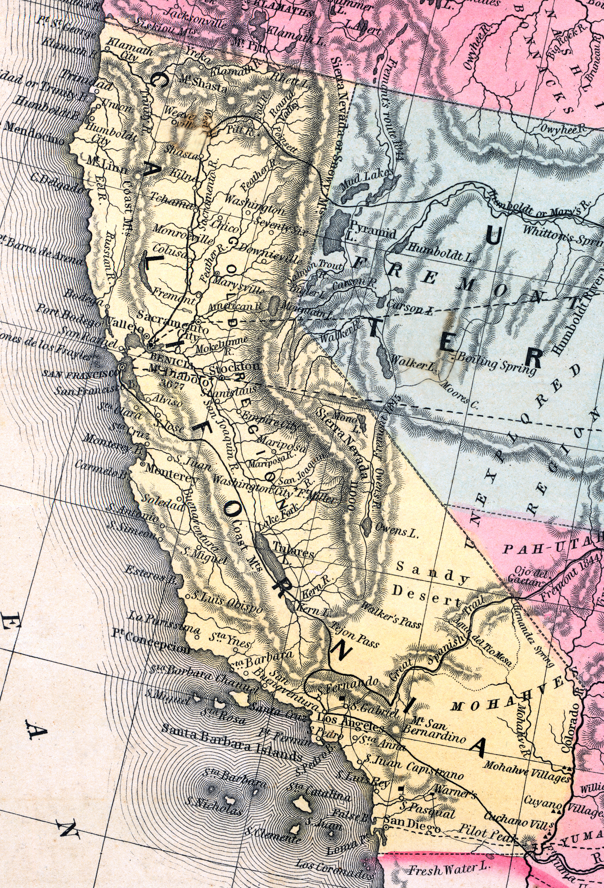
Mitchell's New Universal Atlas.... (Philadelphia: Charles Desilver, 1857), 37.