
Scanned by
Don Sailer, Dickinson College
Scan date
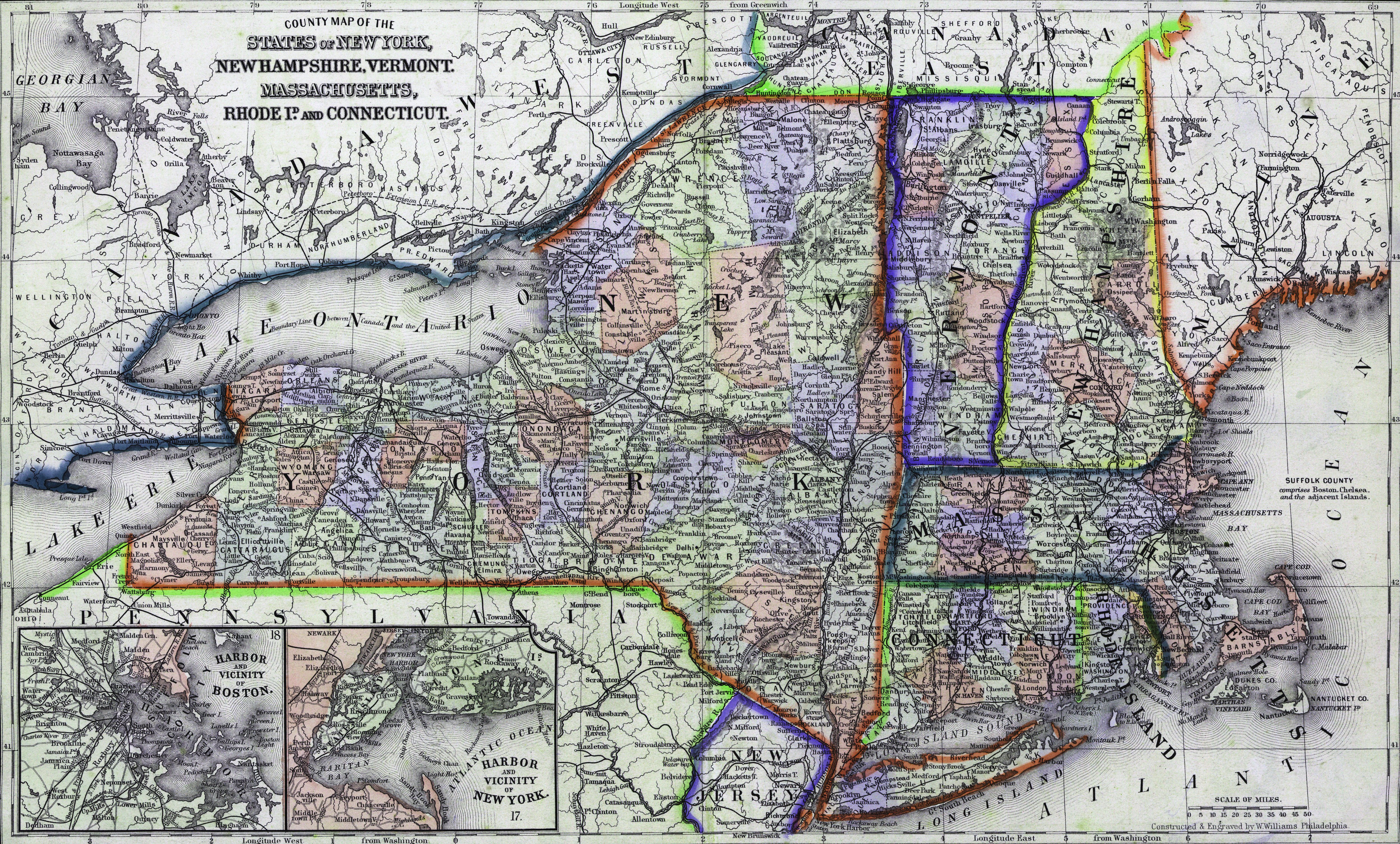
Depicted ContentNew England
Depicted ContentNew Hampshire
Depicted ContentVermont
Depicted ContentConnecticut
Depicted ContentMassachusetts
Depicted ContentNew York
Image type
map
Original caption
County Map of the States of New York, New Hampshire, Vermont, Massachusetts, Rhode Is., and Connecticut.
Source citation
Mitchell's New General Atlas.... (Philadelphia: S. Augustus Mitchell, 1866), 16.